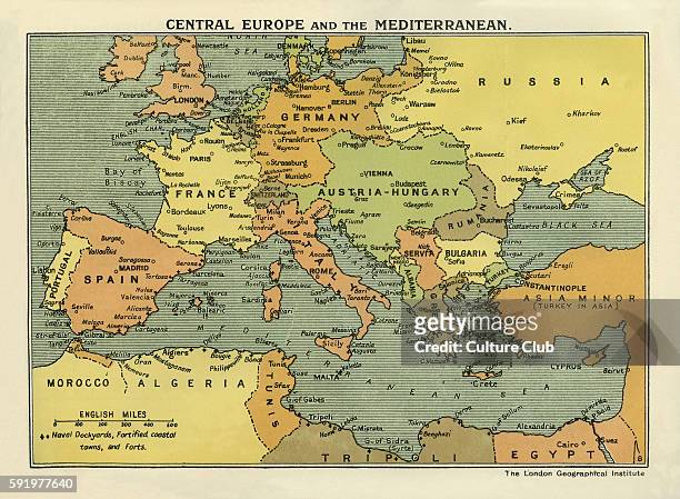
Här kommer kartor att publiceras som visar hur statsgränserna förändrats i Europa under 1900-talet.

under 1900-talet
Här kommer kartor att publiceras som visar hur statsgränserna förändrats i Europa under 1900-talet.

© 2026 Europas historia
Tema av Anders Noren — Upp ↑